We design open source tools and workflows for spatial journalism.
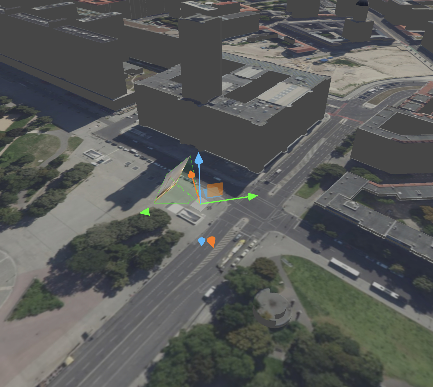
Contact usVantage is a toolkit for photo- and video-based spatial reconstruction designed for investigative journalists and fact-checkers by krisenstab.
We provide open source tools and guides for spatial journalism. Our web apps are free to use, run entirely in your browser and keep your data on your device.
Initial development was funded by the German Federal Ministry of Education and Research and the Prototype Fund.
Vantage
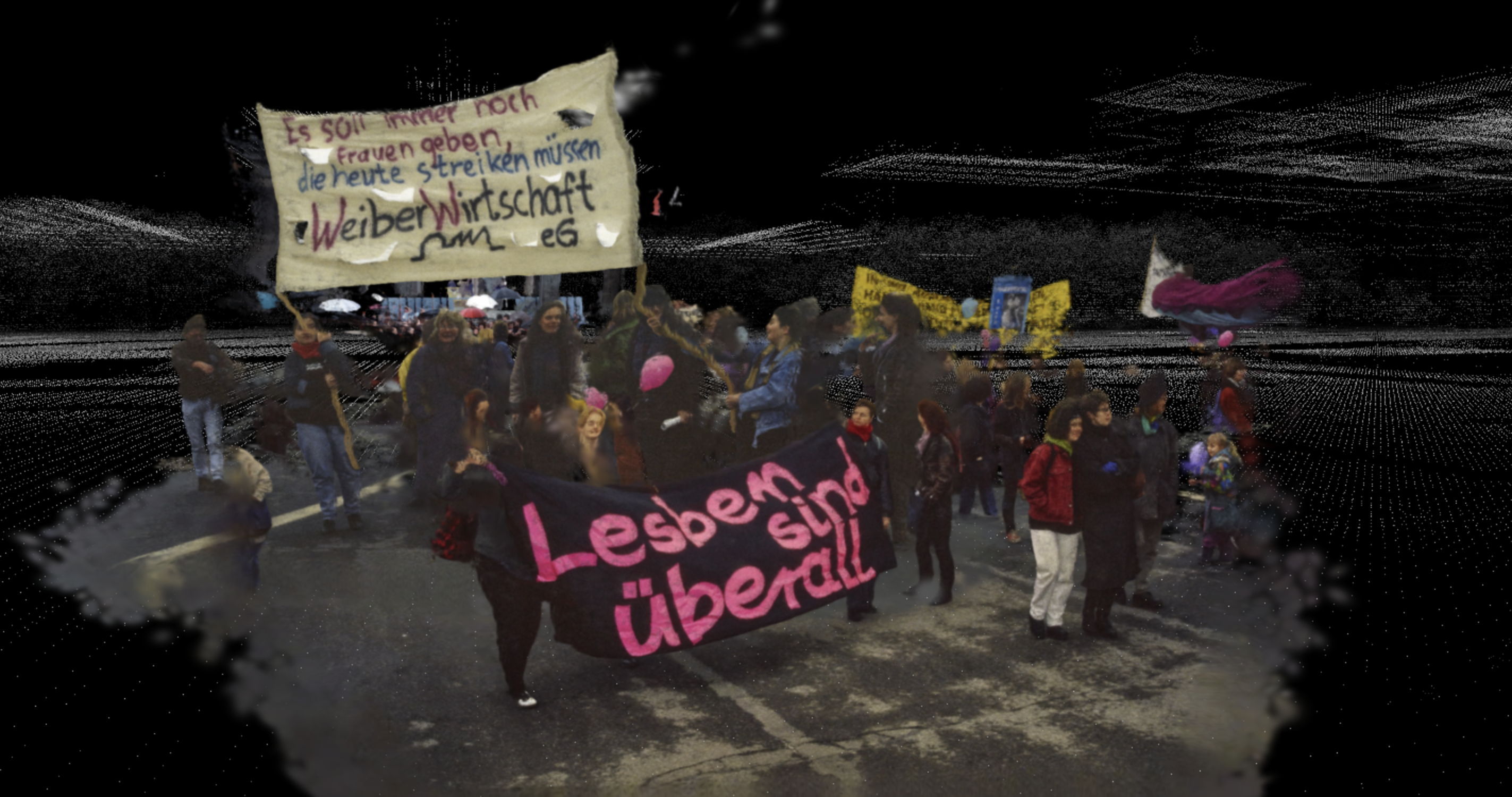
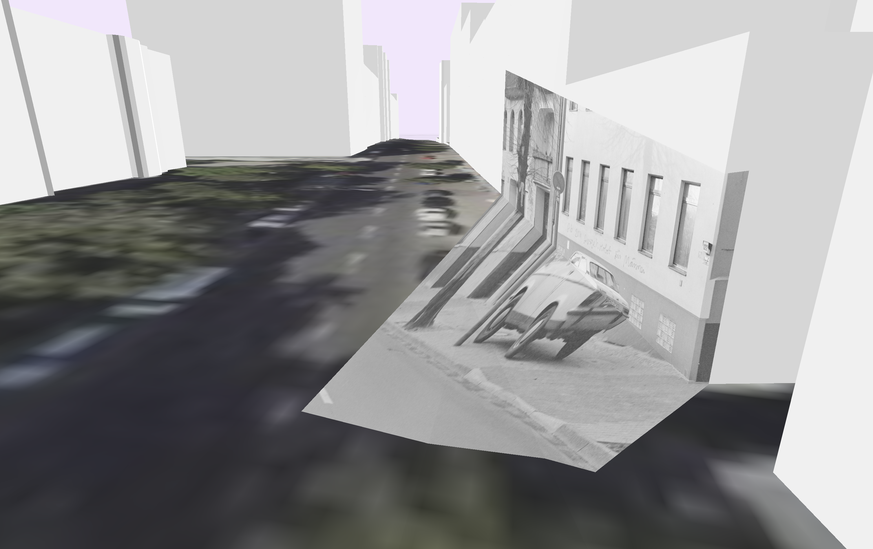
Spatially reconstruct events by placing and projecting imagery onto 3d models
Territory
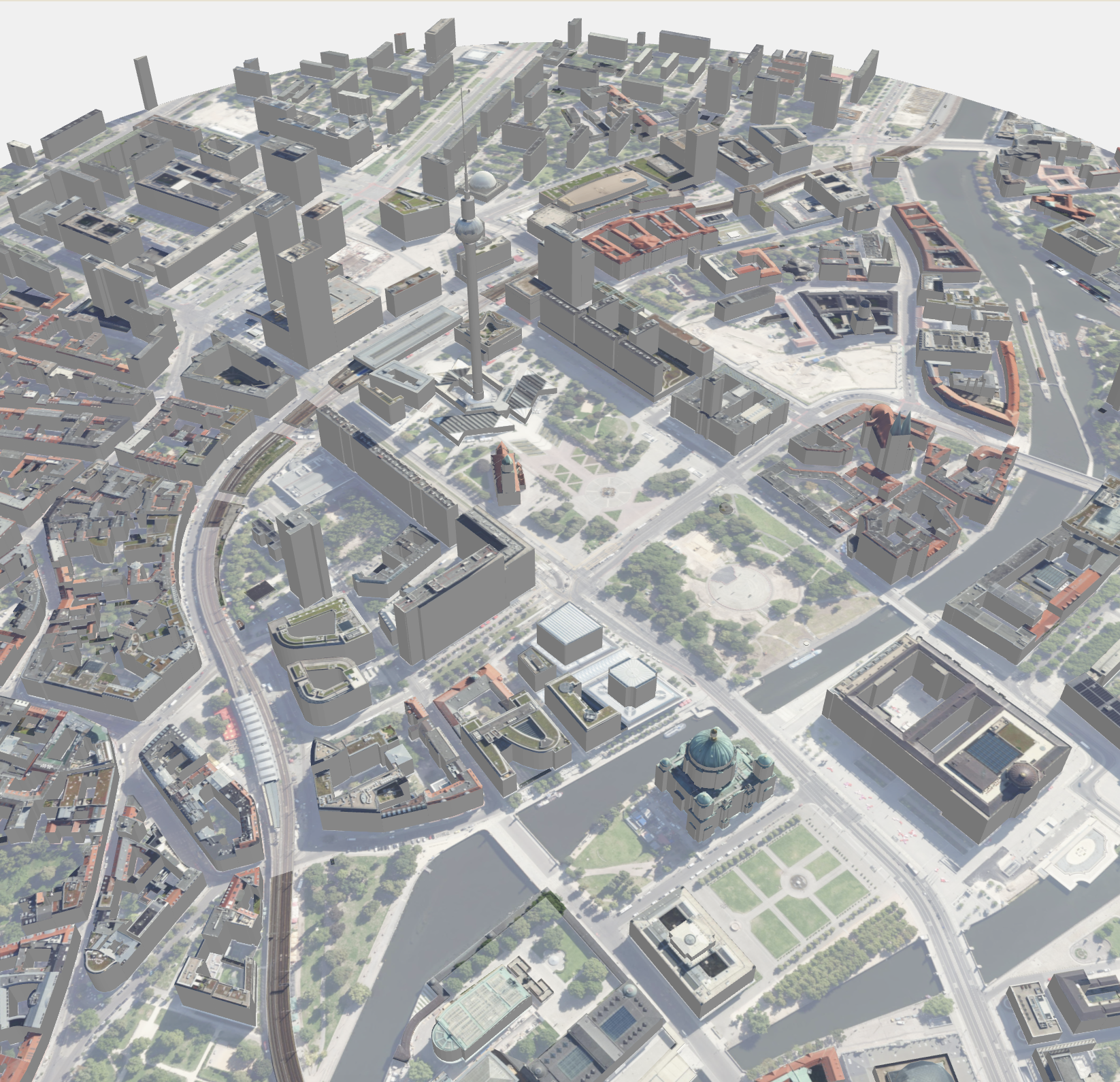
Generate 3D city models, with elevation, textures and customisations
Performing a Spatial Reconstruction
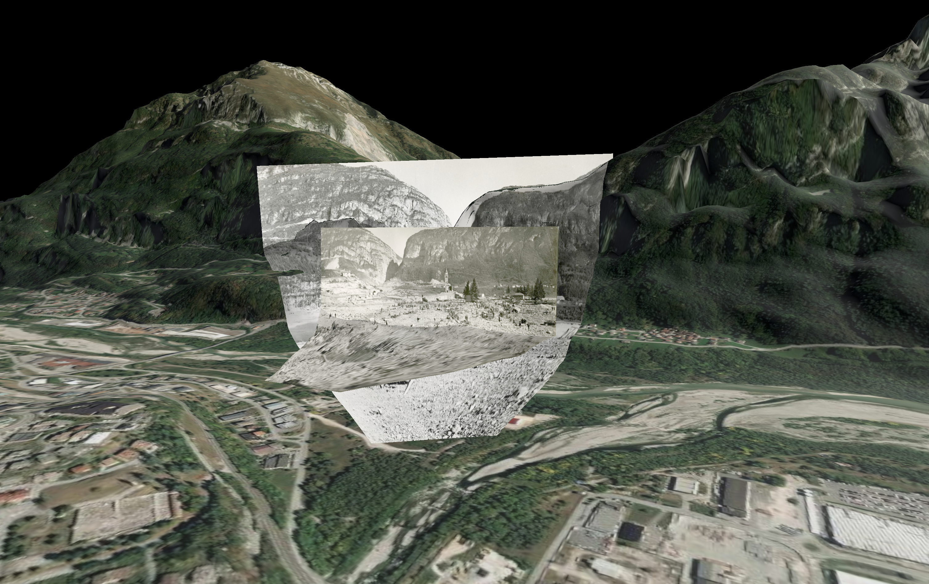
In this guide, we demonstrate a complete spatial reconstruction workflow: generating a 3D model of Brandenburger Tor in Territory from OpenStreetMap data, then importing it into Vantage to align historical photographs against the geometry.
Using viewfinder mode, roll, FOV, and position adjustments, projections are precisely matched, enabling free exploration across perspectives.
Storyboard
Turn Vantage scenes and 3D models into interactive web publications.
From Research to Presentation
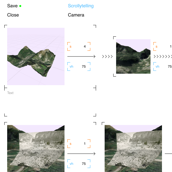
In this guide, we demonstrate Storyboard, a tool for turning spatial research into interactive slideshows and scrollytellings.
Starting from a Vantage project, slides capture camera positions, perspectives, and visible models or projections.
Transitions are refined with waypoints and previewed in slideshow or scrollytelling mode, then exported as web packages.

Imprint
Krisenstab
Thomet & Nanni GbR
Emser Str. 68
12051 berlin
hi@krisenstab.net
DE405805468